CUMULUS humilis
Fair weather clouds if they show no vertical development. Vertical development is a good indication for lift. |
 |
CUMULUS congestus
Can produce showers, usually lead to cumulus nimbus (rain). This is known as OD (over development).
If clouds form in the NW to SW there is a likelihood of gusty winds and showers in 5 to 10 hr. |
 |
CUMULUS calvus
Will produce showers in cold southerly bursts. This is the lead up to thunderstorms. Can become dangerous to pilots due to 'cloud suck'. |
 |
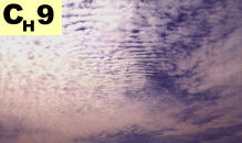
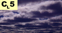
STRATOCUMULUS opacus
Good indication for worsening conditions and drizzle rain. If found ahead of a cold front, expect strong gusty winds and showers within 5 to 10 hr. |
 |
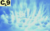
CUMULUS mammatus
This pattern looks like inverted mini cumulus clouds, which are caused by turbulent up and down drafts. Definately not ideal flying conditions! Expect heavy showers accompanied by lightning, thunder, strong squalls and if green around leading edges you can expect hail. |
 |
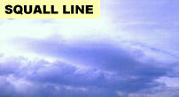
Squall Line
If you see this coming towards you, I'd recommend you to find a place to land. These clouds are indicators for serve winds, heavy rain showers and even a chance of hail. |
 |
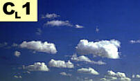
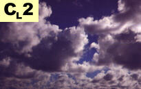
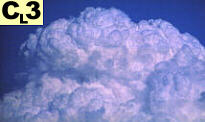
 Low Level Clouds